Sainte-Victoire, Cézanne’s mountain
Eighteen kilometres of limestone, a cross at 946 metres, a priory clinging to the slope. The trails we recommend and what to know before you set off.
3 min readUpdated November 2026Address book
One mountain, two sides
Sainte-Victoire stretches for eighteen kilometres between Aix and the Var, about five kilometres wide. Its highest point is the Pic des Mouches, at 1,011 metres; to the west, the Croix de Provence stands at 946 metres. The massif has been a Grand Site de France since 2004.
Seen from Beaurecueil, it is a wall of white limestone dropping sheer onto the red earth of the Arc valley. The north side is gentler and wooded, sloping down to Vauvenargues. The two sides look nothing alike, and nor do the trails: steep and rocky to the south, steadier to the north.
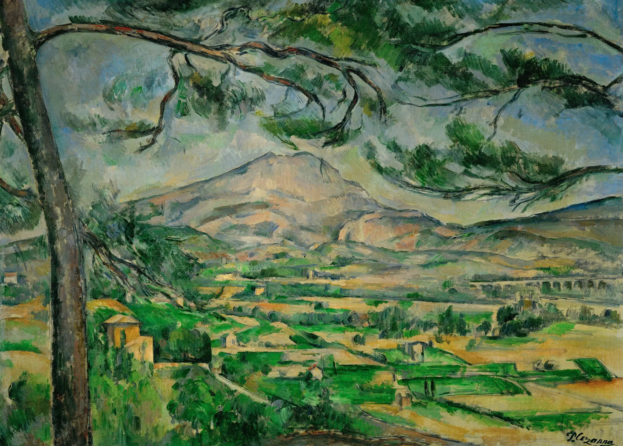
Cézanne’s subject
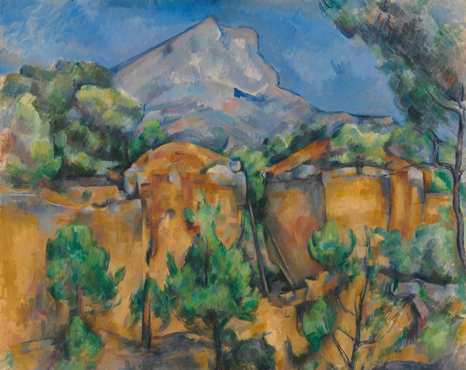
Cézanne painted the mountain dozens of times, in oil and watercolour, from the Bibémus quarry, the Tholonet road, the Château Noir and, at the end of his life, from the Lauves hill above his studio. You find his viewpoints as you walk: the south face from Beaurecueil, the pyramid profile from the west. Our Cézanne guide follows them one by one.
Five trails we recommend
Indicative routes, calculated on OpenStreetMap paths. Always follow the waymarks on site.
- 5 min from the house
Via the Pas du Moine
HardThe closest start to the villa. The sunny south face, past the Cézanne refuge and the Pas du Moine, up to the priory and the Croix de Provence.
- Start
- Plan d’En Chois, Saint-Antonin-sur-Bayon
- Distance
- 5.8 km loop
- Elevation gain
- ≈ 645 m
- Time
- 3 h 30
- 35 min from the house
The Imoucha path
StrenuousThe mountain’s busiest trail: steep rocky passages up to the Croix de Provence. Reopened after safety works.
- Start
- Bimont dam
- Distance
- 5 km to the cross
- Elevation gain
- ≈ 700 m
- Time
- Half a day
- 30 min from the house
The Venturiers path
Steady, not technicalThe pilgrims’ way to the priory, now the GR 9: a wide, even track up the north side, the gentlest climb to the cross.
- Start
- Les Cabassols, Vauvenargues
- Distance
- ≈ 10 km return
- Elevation gain
- ≈ 600 m
- Time
- 1 h 30 up
- 5 min from the house
The dams circuit
Easy to moderateThe Zola dam, designed by Émile Zola’s father, Bimont lake and an old Roman dam, along the Cause river and the pines. Best in spring.
- Start
- Le Tholonet
- Distance
- ≈ 13 km loop
- Elevation gain
- ≈ 450 m
- Time
- 3 h 45
- 10 min from the house
At the foot of the mountain
Easy, family-friendlyAn almost flat loop from the Maison Sainte-Victoire, whose garden presents the wildlife and plants of the massif.
- Start
- Maison Sainte-Victoire, Saint-Antonin-sur-Bayon
- Distance
- ≈ 9 km loop
- Elevation gain
- ≈ 120 m
- Time
- 2 h 30
The paths are stony and often unshaded. Hiking boots are essential, and poles help on the way down. The FFRandonnée topoguide and the IGN “Montagne Sainte-Victoire” map cover the whole massif.
The priory and the Croix de Provence
Halfway up below the ridge, the Sainte-Victoire priory is a seventeenth-century group of buildings restored stone by stone by the Amis de Sainte-Victoire, an association founded in 1955. Stop there before the last few hundred metres to the Croix de Provence; the current cross is the fourth to stand on the summit. The view takes in Aix, the Étang de Berre and, on clear days, the Alps.
Summer in the massif
From 1 June to 30 September, access to the forested hills of the Bouches-du-Rhône is regulated by prefectoral order to limit the risk of fire. Every evening the prefecture publishes the next day’s map, massif by massif: access allowed, discouraged or forbidden. A town may impose stricter rules. The map is on the prefecture website and on the MyProvence “Envie de balade” site and app.
In practice: start early, check the map the evening before, carry more than two litres of water each (there is no drinking water anywhere on the mountain) and turn back if a strong mistral gets up. Fires and smoking are forbidden all year.
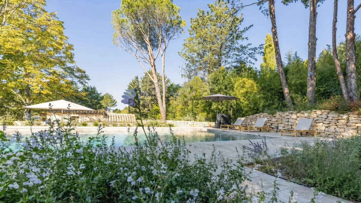
Leave at dawn, come down before noon, dive into the pool.
The north side: Bimont, Zola and Vauvenargues
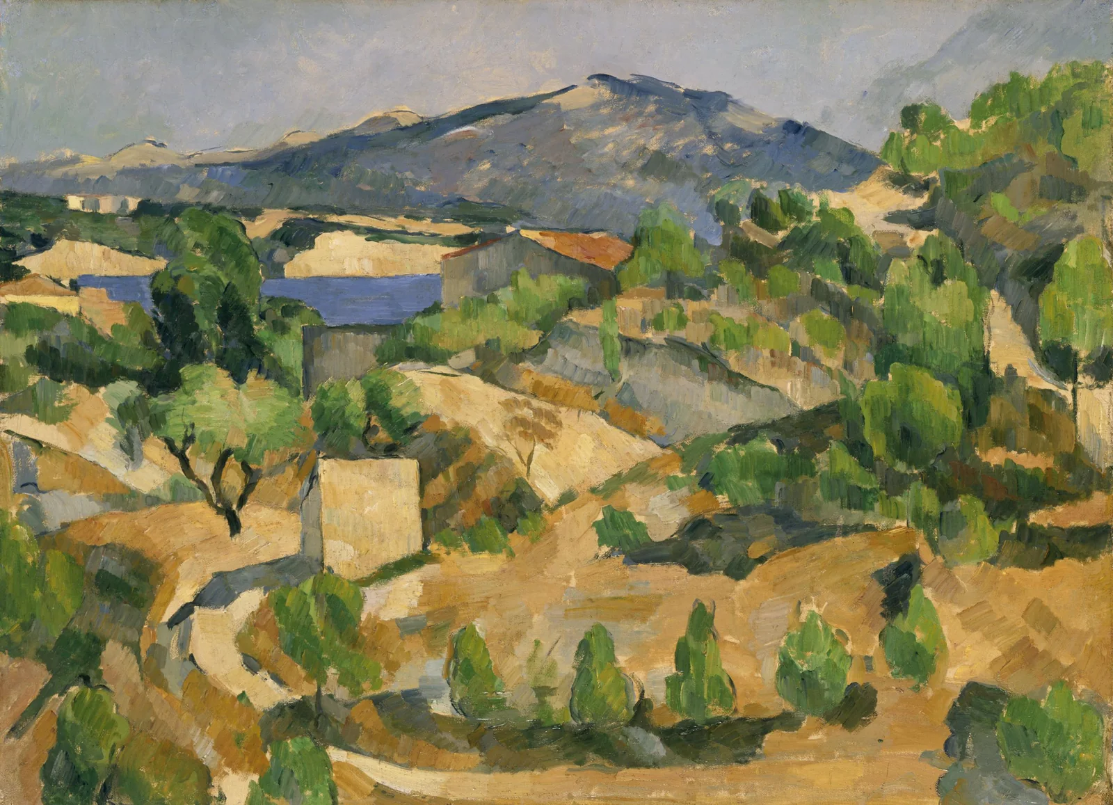
To the north-west, Bimont lake and its dam mark the start of the Imoucha trail. Further down in the Infernet gorges, the Zola dam, one of the first modern arch dams, was designed by François Zola, the writer’s father. Cézanne, Émile’s childhood friend, painted it.
The D10 then reaches Vauvenargues, a quiet village in the valley. Picasso bought its château in 1958 and is buried in the grounds. The château is still private and not open to visitors, but you can see it from the village, set against the mountain.
The mountain’s wine
At the foot of the south side, the vineyards carry the Côtes de Provence Sainte-Victoire appellation. Puyloubier, twenty minutes from the house, has more than a thousand hectares of vines on its own, the largest vineyard in the department. Our favourite estates are in the Around Sainte-Victoire guide.
Address book
Grand Site Concors Sainte-Victoire
La Ferme, Beaurecueil5 min from the houseTrail information, closures and guided outings.
Summer access to the hills
Bouches-du-Rhône prefectureDaily map from 1 June to 30 September, published the evening before.
Also on MyProvence, “Envie de balade”.Maison Sainte-Victoire
Saint-Antonin-sur-Bayon10 min from the houseVisitor centre, museum, garden and restaurant.
Start of the loop at the foot of the mountain.Les Amis de Sainte-Victoire
Sainte-Victoire prioryThe association that looks after the priory and runs guided outings.
Founded in 1955.
Frequently asked questions
What is the easiest hike to the Croix de Provence?
The Chemin des Venturiers, from the Cabassols car park near Vauvenargues, is the steadiest climb: a wide track up the north side, about 1 h 30 up to the priory and the cross.
Can you hike Sainte-Victoire in summer?
Yes, but access is regulated from 1 June to 30 September according to the fire risk. Check the map the prefecture publishes each evening for the next day, start early and carry more than two litres of water each.
How high is Mont Sainte-Victoire?
The highest point is the Pic des Mouches, at 1,011 metres. The Croix de Provence, to the west, stands at 946 metres.
Can you visit Picasso’s château at Vauvenargues?
No. The Château de Vauvenargues, where Picasso is buried, is private and closed to the public. You can see it from the village.